Yorkshire Three Peaks Challenge
The route
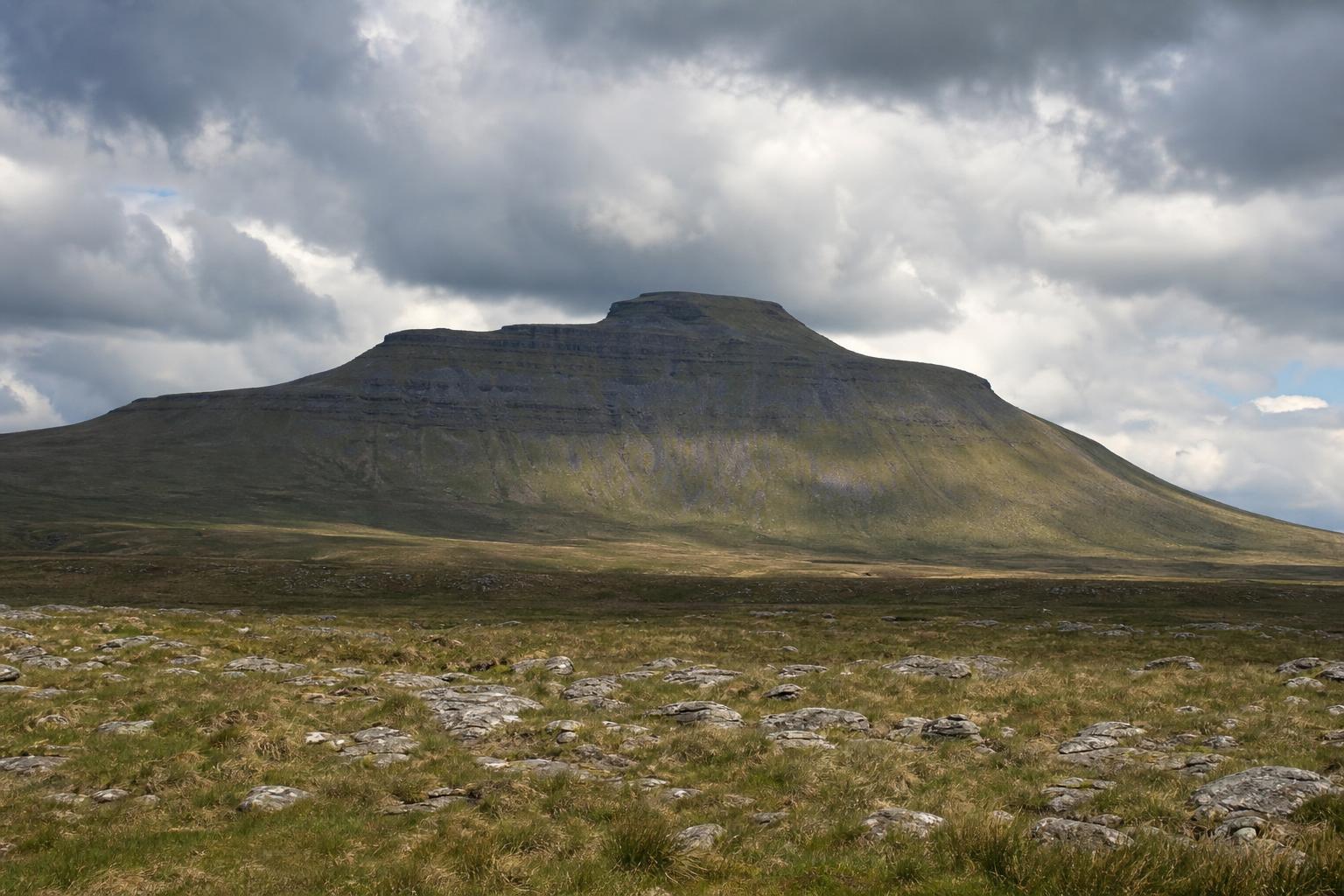
The Yorkshire Three Peaks Challenge is a fixed circular route from Horton-in-Ribblesdale taking in Pen-y-ghent (694 m), Whernside (736 m, the highest point in the historic county of Yorkshire), and Ingleborough (723 m), almost always walked in that order. The generally accepted figures are roughly 24 miles (around 38.6 km measured on the ground, with OS-derived totals ranging 24–26 miles depending on exact line taken) and about 1,585 m of cumulative ascent. The traditional target is under 12 hours, though there's no rule requiring that time — plenty of walkers take two days and camp or use accommodation at the halfway point near Ribblehead.
Why there's no more clocking-in card
For decades, the Pen-y-ghent Café in Horton-in-Ribblesdale ran an actual factory-style clocking-in machine that walkers used to punch a card at the start and end of their attempt — the traditional proof of a sub-12-hour completion, and a genuine piece of working-class hiking culture rather than a marketing gimmick. The café closed permanently in September 2018, and the physical clocking-in system closed with it. Walkers today self-certify their completion, and the Yorkshire Dales National Park Authority publishes a printable certificate online for anyone who wants one — there is no longer an official checkpoint of any kind on the route itself.
The three summits
Whernside's ascent runs alongside the Settle–Carlisle railway and passes close to the Ribblehead Viaduct, a 24-arch Victorian structure that's a landmark in its own right and a common informal rest point roughly a third of the way round. Ingleborough, the final peak for most walkers, has the visible remains of an Iron Age hillfort on its summit plateau — one of the highest-altitude hillfort sites in England.
Practical notes
Parking at Horton-in-Ribblesdale is limited to a pay-and-display National Park car park plus roadside space that fills early on weekends between spring and autumn — many walkers now start from Settle or use the Settle–Carlisle railway to reach Horton station directly, avoiding the parking problem entirely. Weather changes fast and independently across the three summits; a clear day at Horton is not a guarantee of a clear summit on Whernside, which catches the worst of any westerly wind. Use the planner below to see what pace a given target time actually demands before committing to a start time.
Plan your own attempt
Same tool as the homepage — pick your target time and start time and see the real leg-by-leg pace and checkpoint clocks for this exact route.